Enhance your projects with accurate and detailed photogrammetry solutions tailored for various applications.
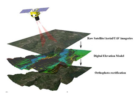
We create detailed 2D and 3D maps using photogrammetric techniques integrating aerial imagery and advanced mapping technologies.
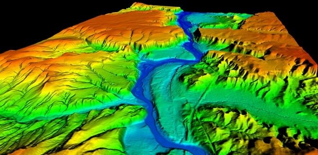
Providing highly accurate 3D representations of terrain surfaces for flood risk mapping, infrastructure planning, and resource exploration.
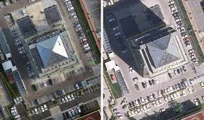
Generating accurate, distortion-free aerial imagery with orthophotos and seamless mosaics for land use planning and construction monitoring.
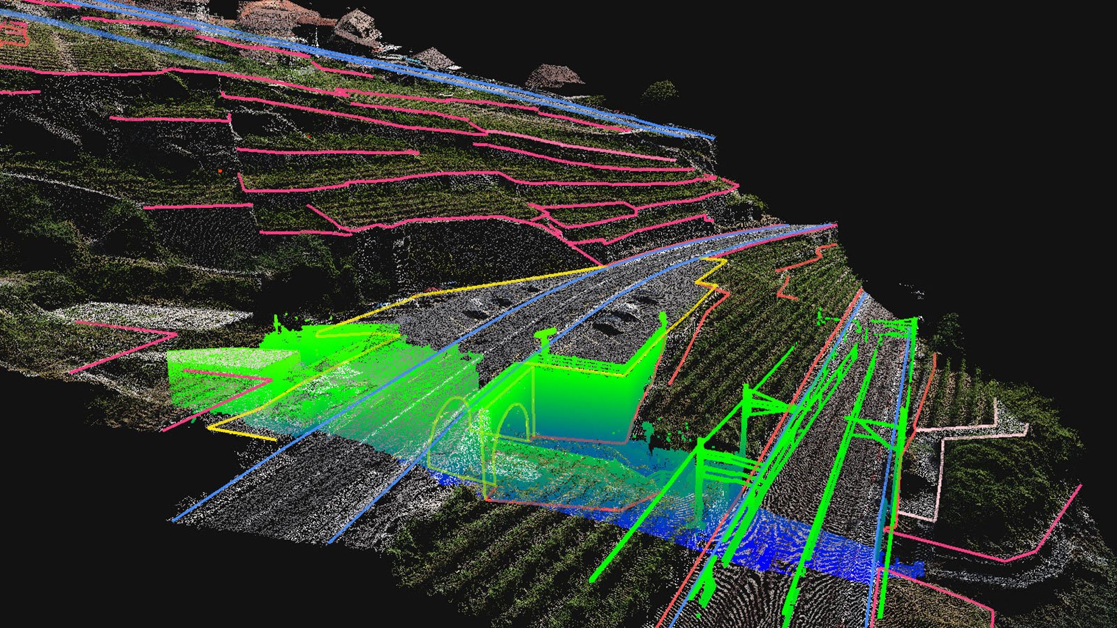
Using laser technology to capture precise 3D data for infrastructure projects, urban development, and environmental analysis.
Providing spatial data analysis and visualization to support urban planning, agriculture, and resource management.

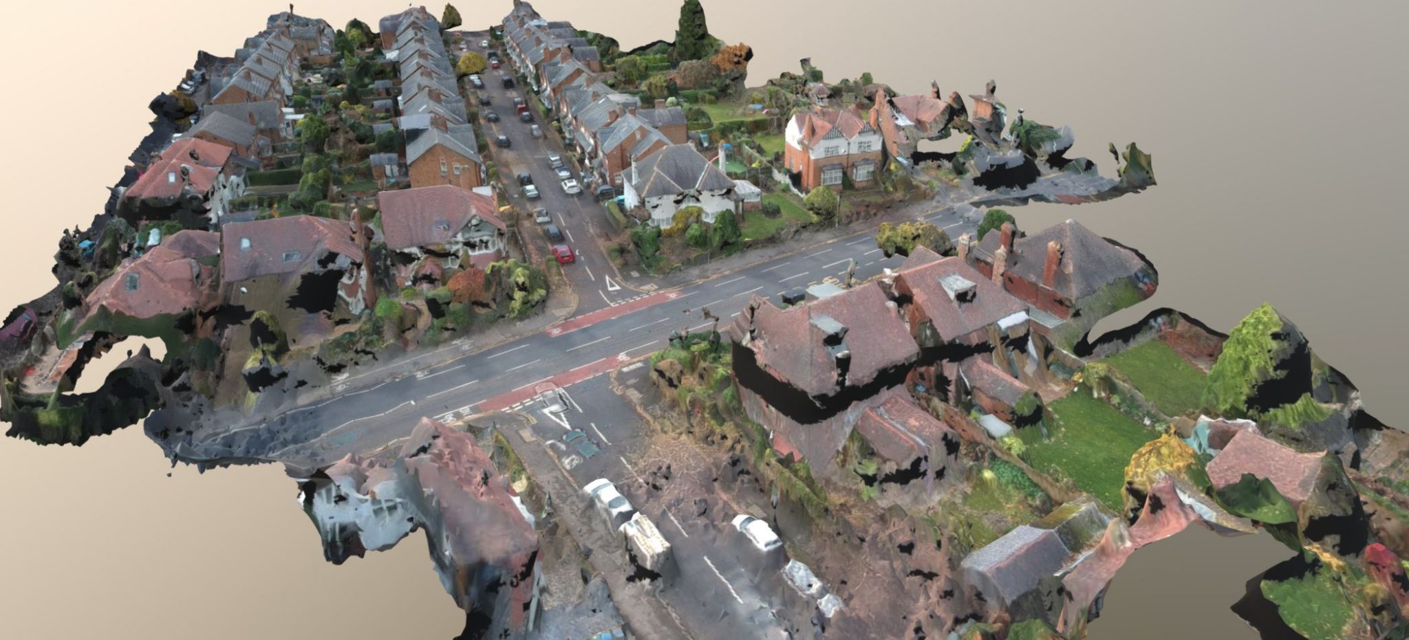
Creating detailed 3D models of buildings and infrastructure for construction planning and asset management.

Providing aerial data acquisition services for land surveying, environmental monitoring, and disaster management.